


A new map of Loška dolina
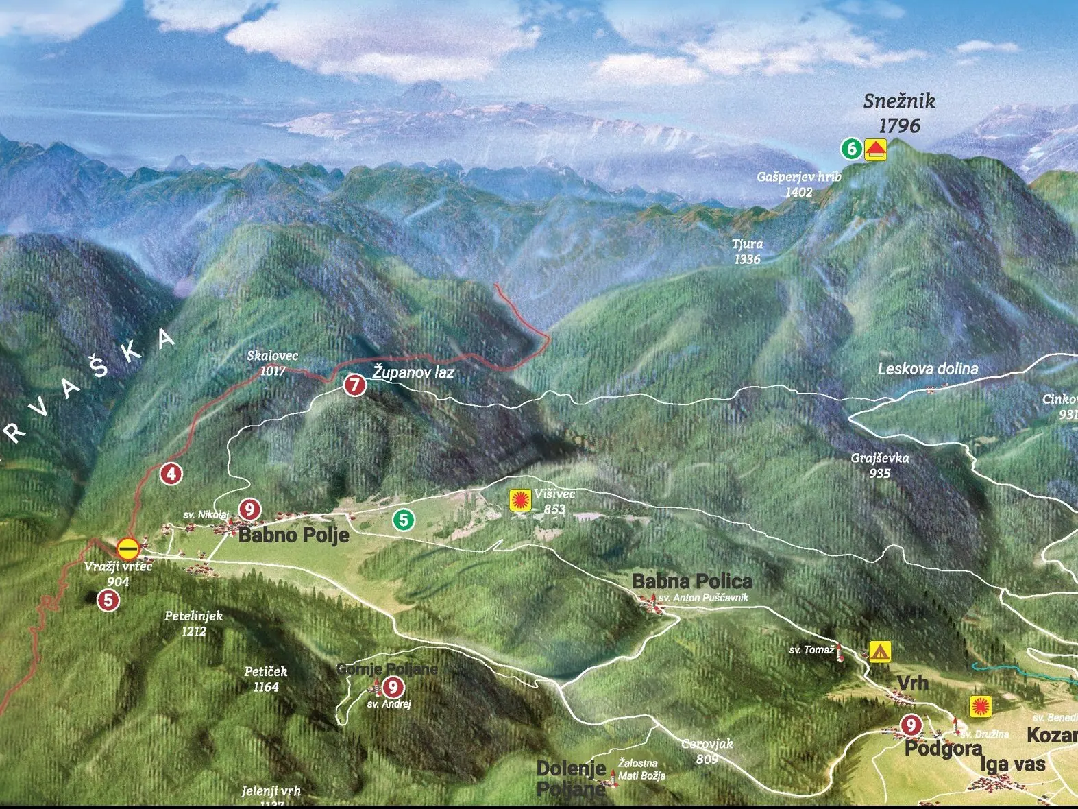
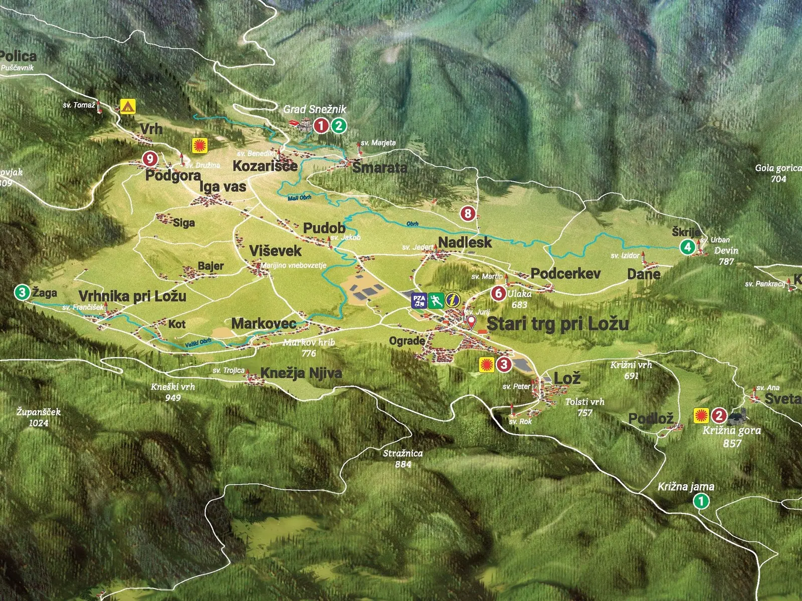
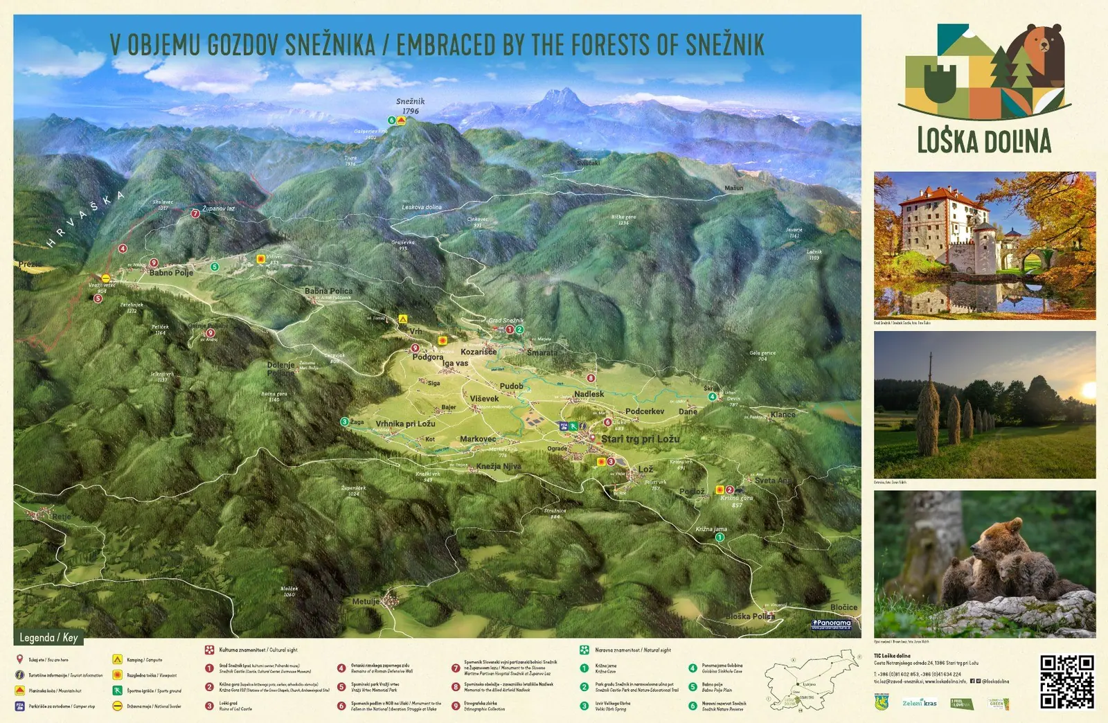
For the Snežnik Public Institute we drew a new panoramic map of the Municipality of Loška dolina and printed it on a 230 × 150 cm info board. The map shows the valley with its hiking and cycling trails and local services in a single view.

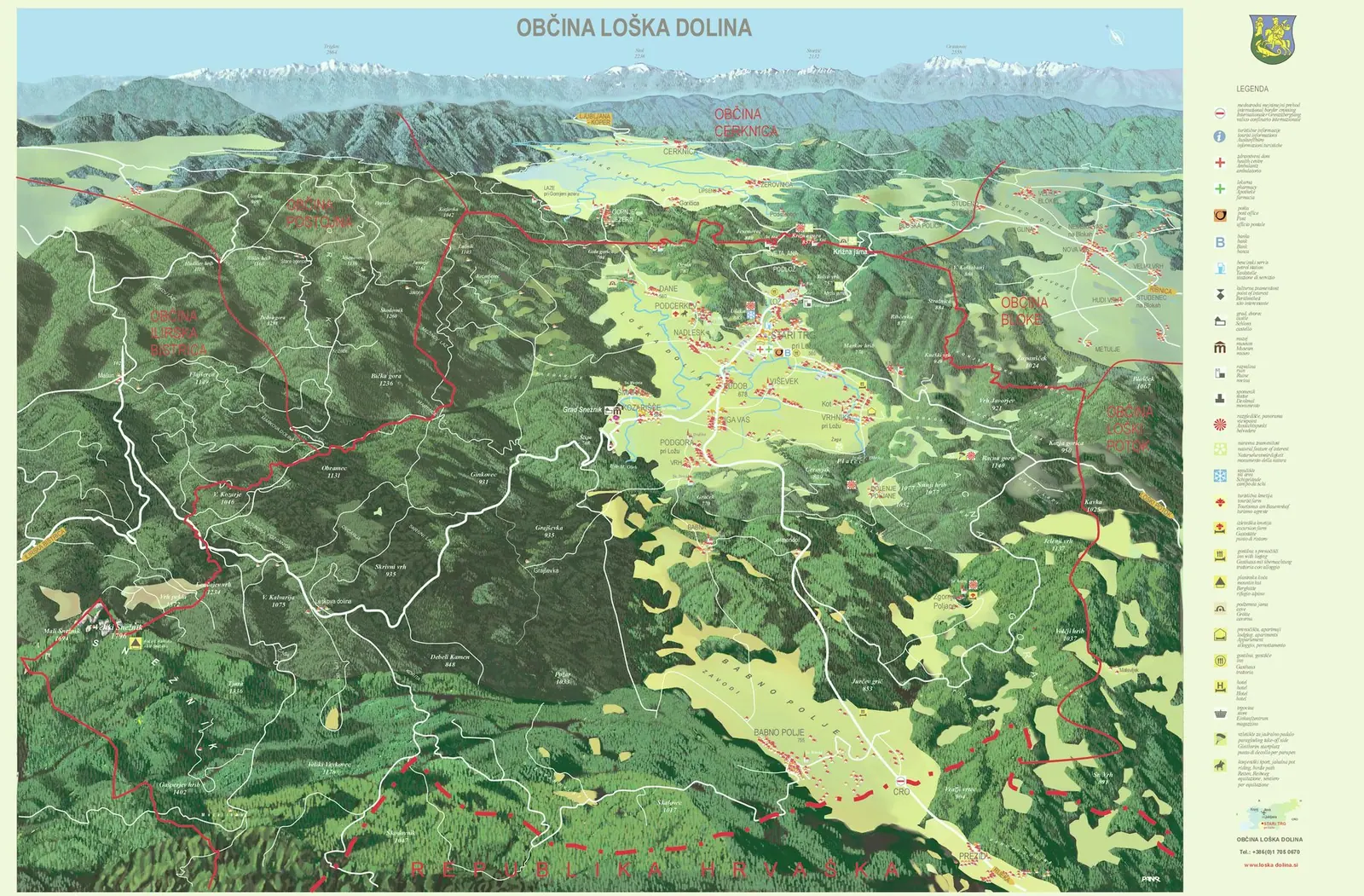
We drew the first map of Loška dolina in 2007. It showed the valley from the south, with Lake Cerknica and the Julian Alps in the background. The new map looks the other way: Stari trg pri Ložu, Lož and the villages along the Obrh are in the foreground, and behind them the forests rise to Snežnik (1,796 m). They also give the board its title: Embraced by the forests of Snežnik.
The map is drawn from a digital elevation model and then finished by hand. It shows roads, villages and peaks, hiking and cycling trails, and places to eat and stay. Cultural and natural sights are numbered and described in the legend, all in Slovenian and English.
Next to the map, the board carries three photos of the valley, a QR code and the contact details of the Loška dolina tourist office. It is printed directly on aluminium.
Gallery
Then and now
The 2007 board was the same size, but its map showed the valley from the opposite side, with Lake Cerknica in the background.
Interested in a similar project?
Send us a short description and we will prepare a proposal and a quote.
