


School maps
Clear, durable wall maps for classrooms, in Slovenian.
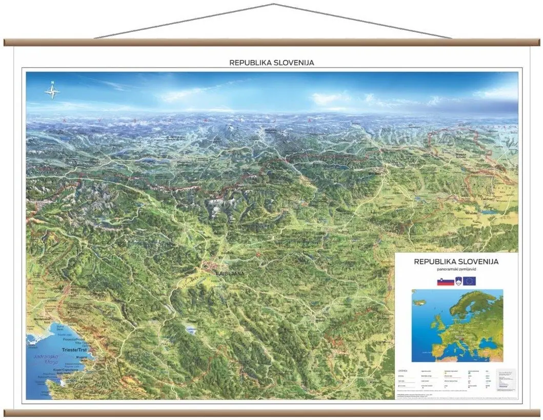
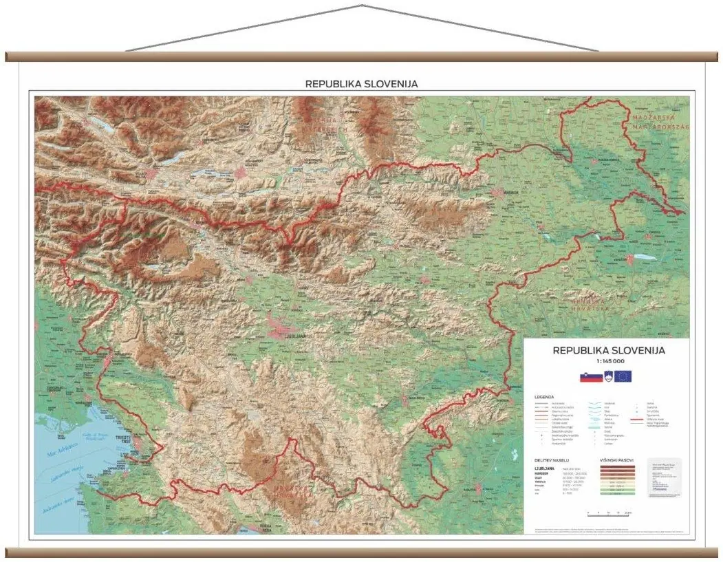
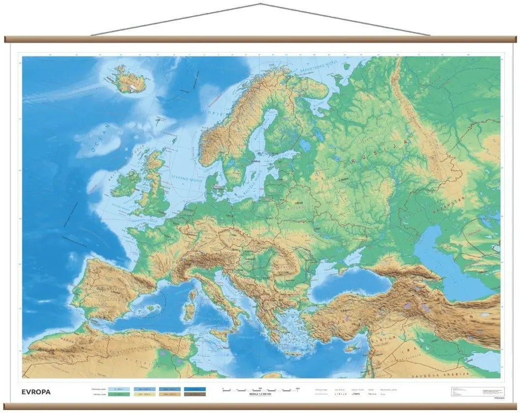
We produce school wall maps of Slovenia and Europe in cooperation with the German cartographic publisher INTERKART; the world map in the Equal Earth projection is our own production. The maps show all the key content used in school lessons.
We have already supplied more than 150 wall maps to schools across Slovenia. Maps are available individually or as a set in any combination, with free delivery to the school.
Build
- Printed on tarpaulin (PVC 500 gsm)
- Wooden rails and hanging cord
- Format 200 × 150 cm (world 200 × 120 cm)
- Roller-blind version available
Content
- All maps in Slovenian
- Content suited to school lessons
- World map in the Equal Earth projection
- Our own panoramic map of Slovenia
Ordering & delivery
- Single map or a set
- Sets in any combination of maps
- Cardboard packaging
- Free delivery to the school
Our school maps
The maps of Slovenia and Europe measure 200 × 150 cm, the world map 200 × 120 cm.
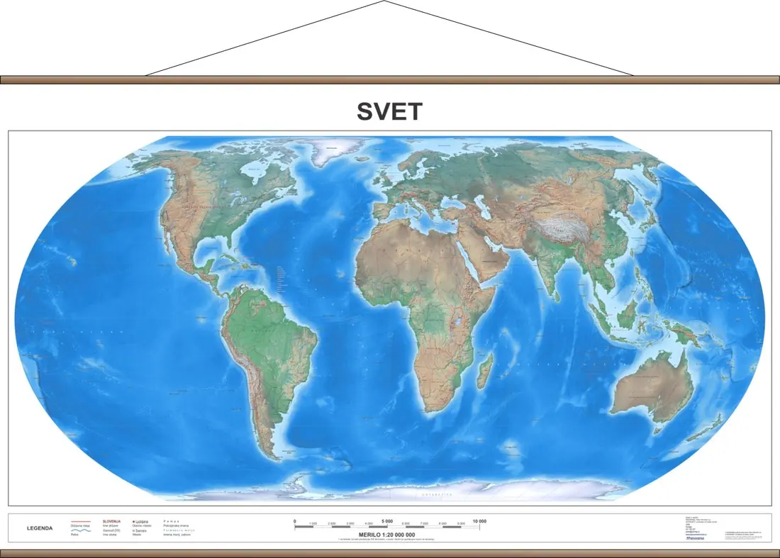
A world map without Mercator distortions
In September 2026 the UN General Assembly adopted a resolution supporting the use of equal-area maps such as Equal Earth. The Equal Earth projection shows continents in their true proportions: Africa appears 14 times larger than Greenland, just as it is in reality.
More about the world mapPrice list
Prices include VAT. A set can combine any of the maps.
The price includes printing on tarpaulin, wooden rails, hanging cord, cardboard packaging and free delivery to the school. A roller-blind version is also available (no rails, with an extension on the top edge).
