


Summer panoramic maps
All of a destination’s summer offering on one map.
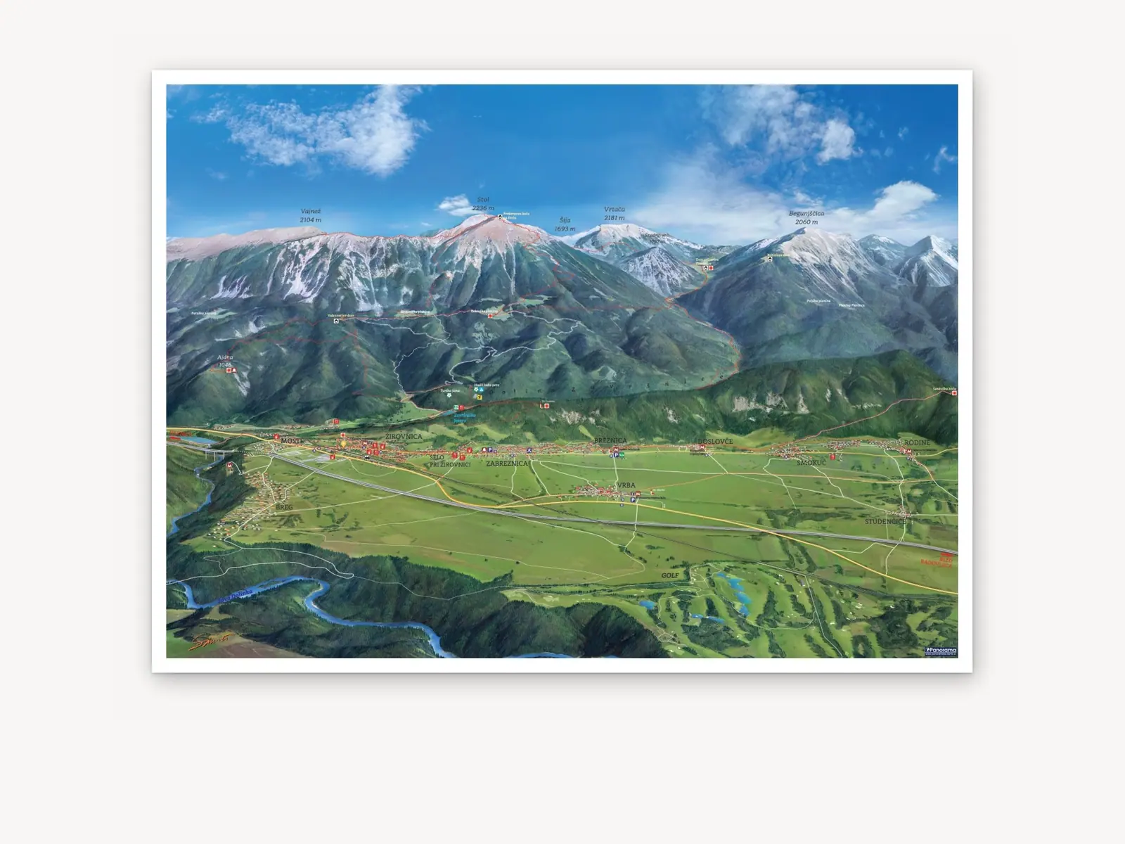
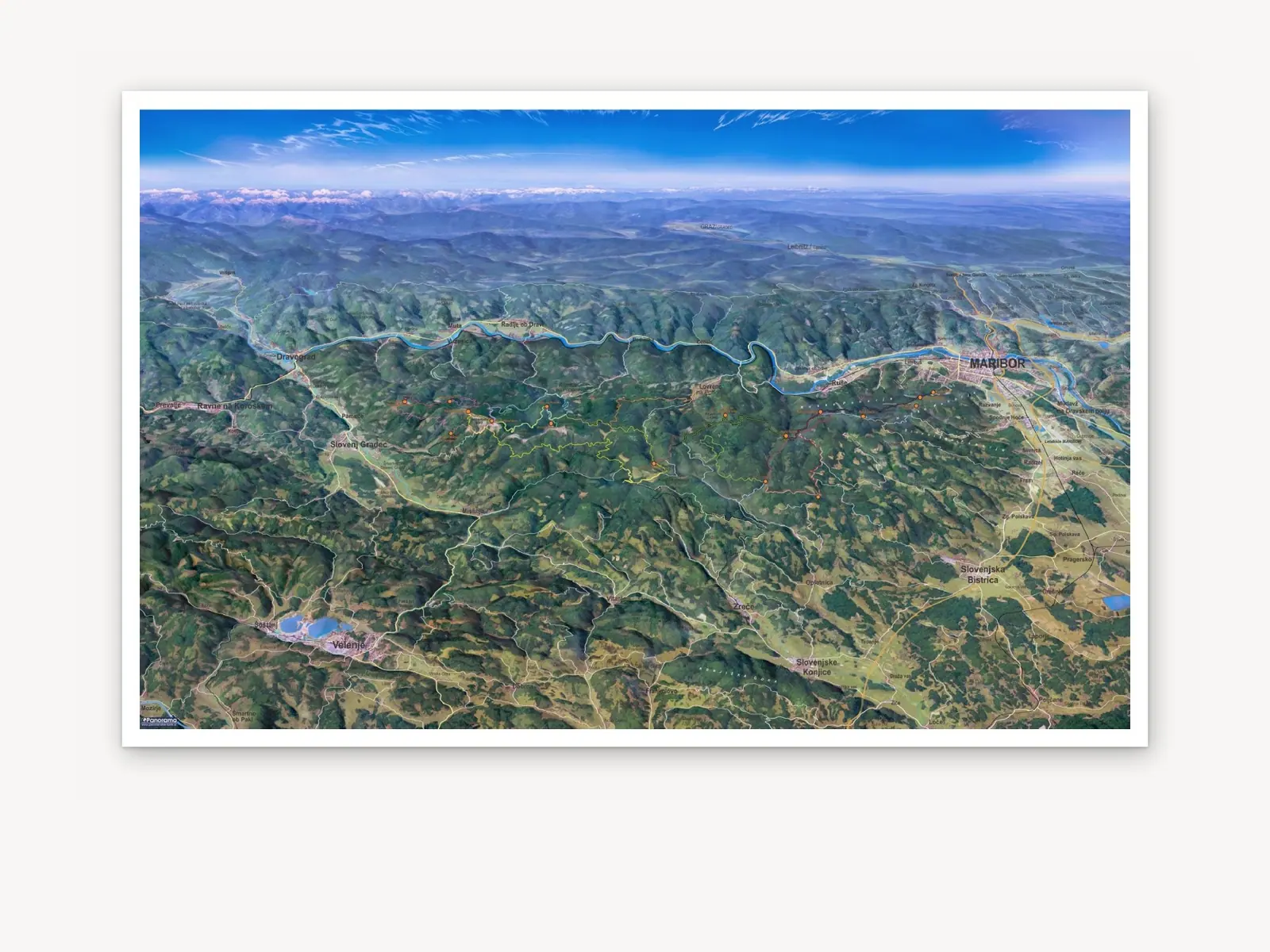
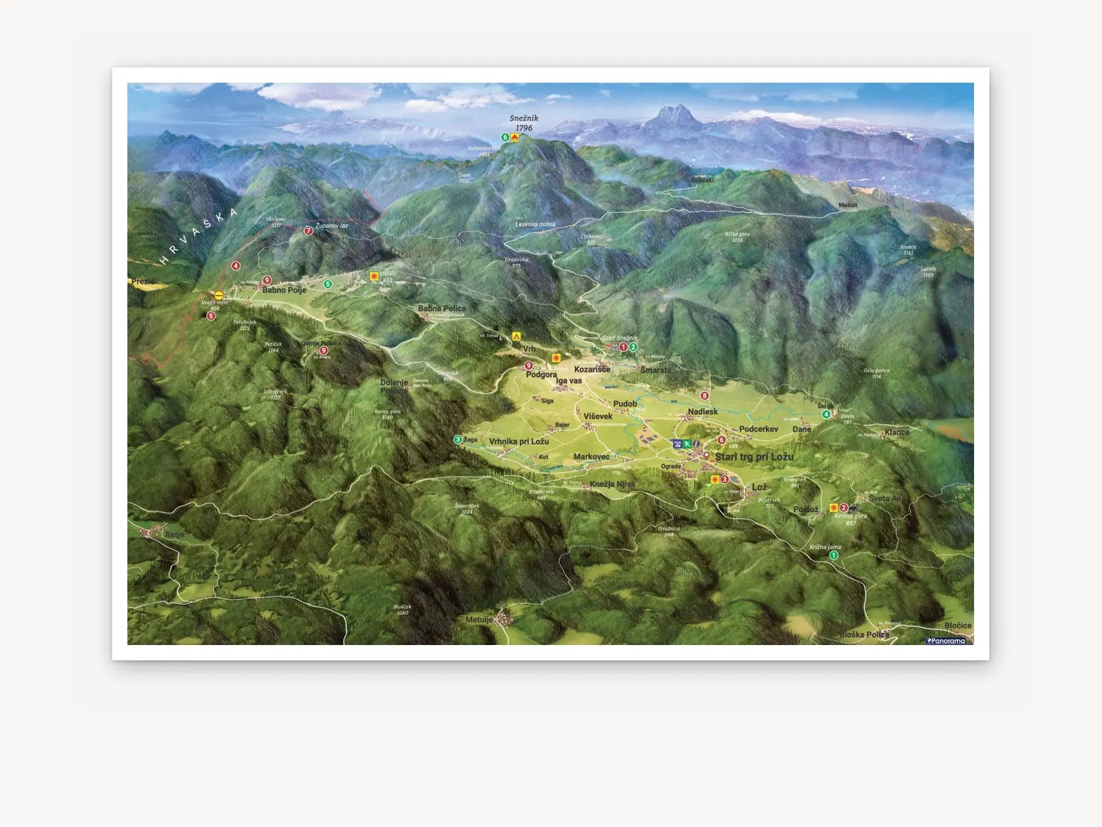
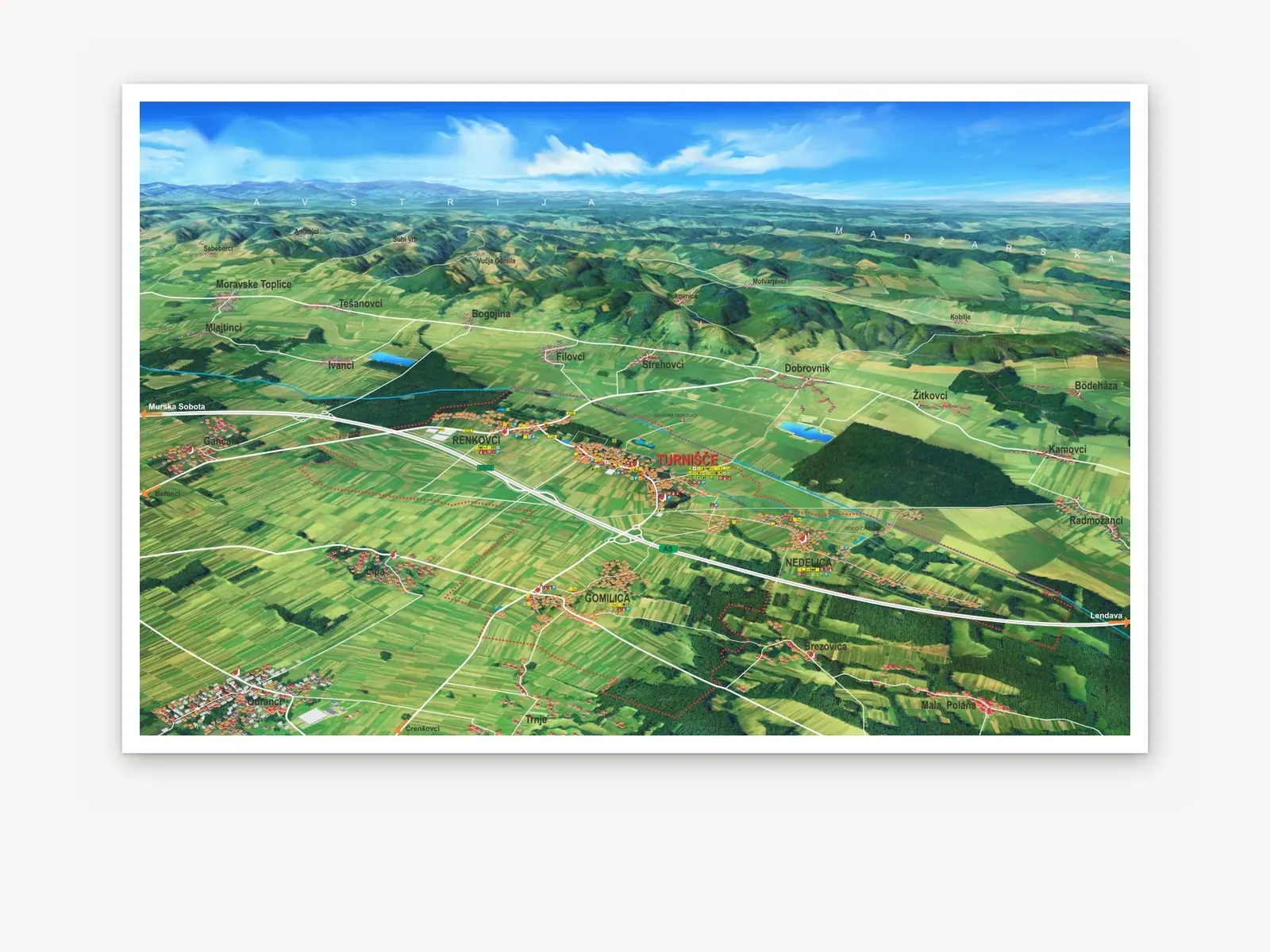
A summer panoramic map shows the destination the way visitors experience it in summer: hiking and cycling trails, viewpoints, mountain huts, swimming spots and sights. All in a single view.
We draw the map by hand once, and you use it everywhere: on info boards, in leaflets and in the interactive map on visitors’ phones. When reprinting or for a new season, we quickly update it with new trails and content.
Trails
- Hiking and mountain trails
- Cycling and mountain-bike routes
- Themed and educational trails
- Trailheads, car parks and viewpoints
What’s on offer
- Huts, accommodation and dining
- Natural and cultural sights
- Swimming, rentals and sports facilities
- Legend with pictograms
Who it is for
- Hikers and mountaineers
- Cyclists
- Families and day-trippers
- Foreign guests (bilingual legend)
Featured projects
A selection of summer panoramic maps from across Slovenia.
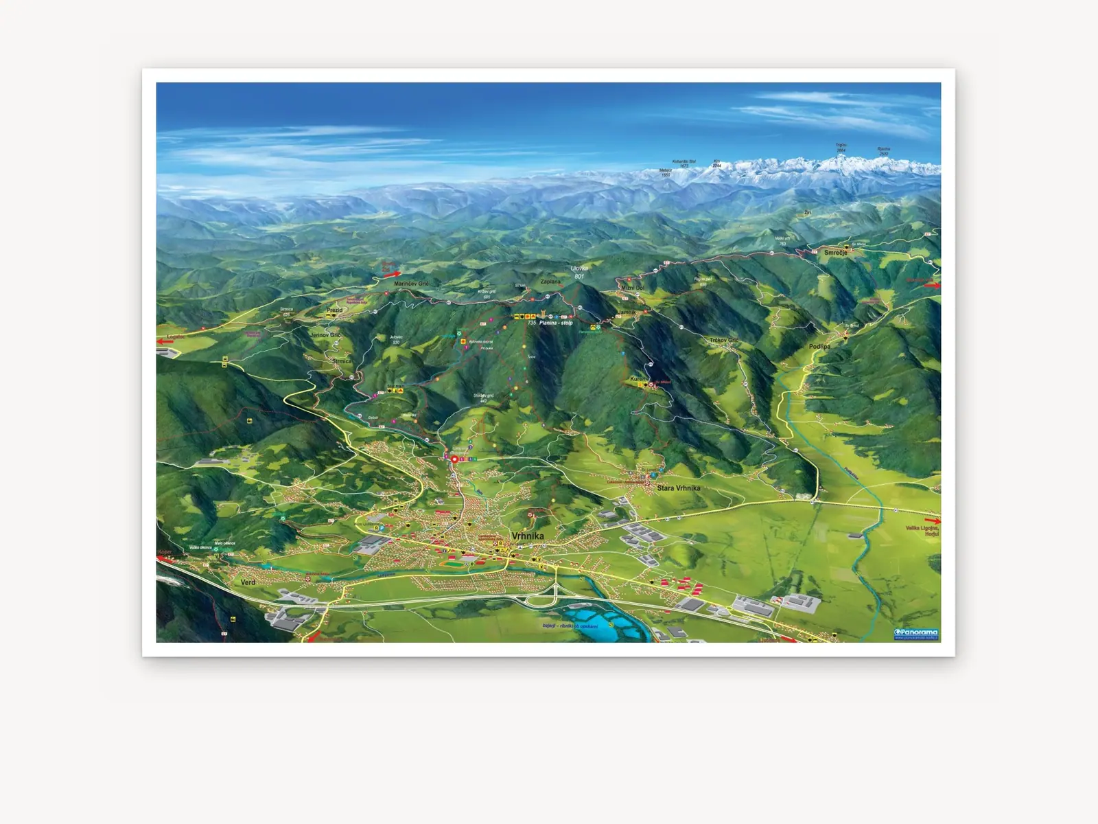
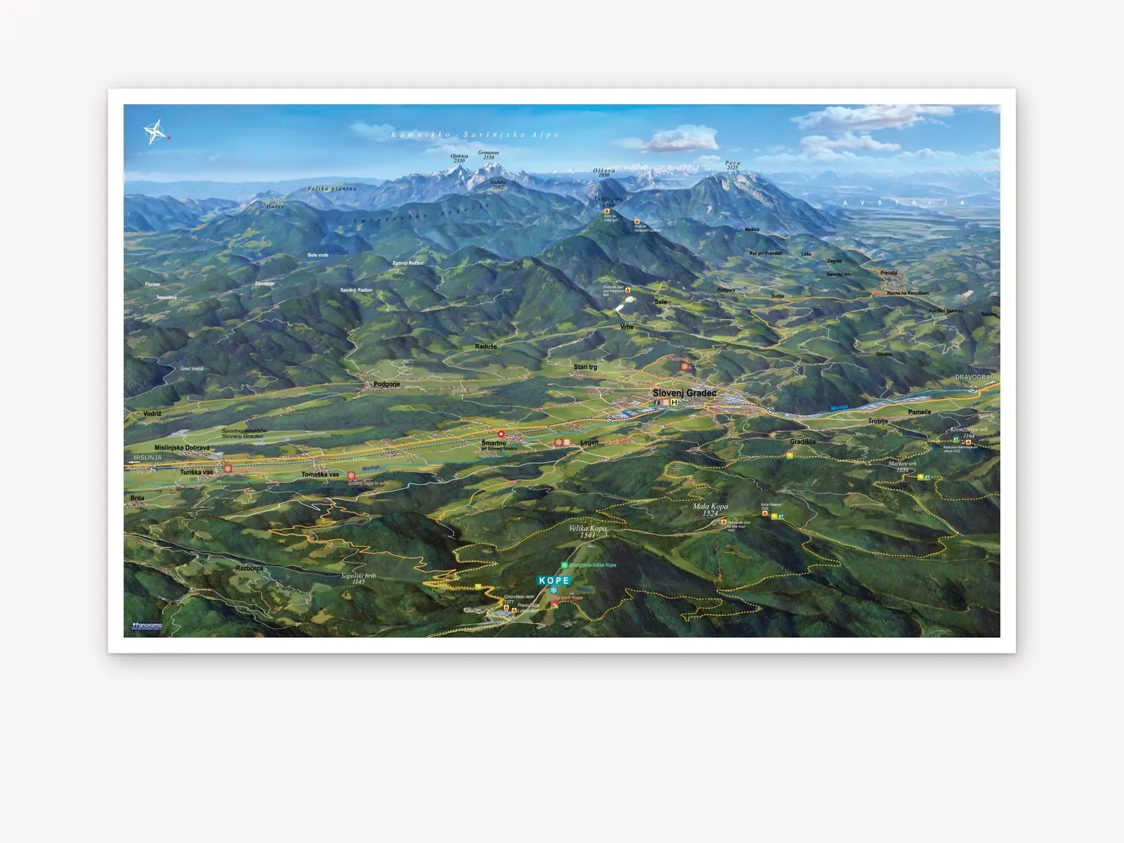
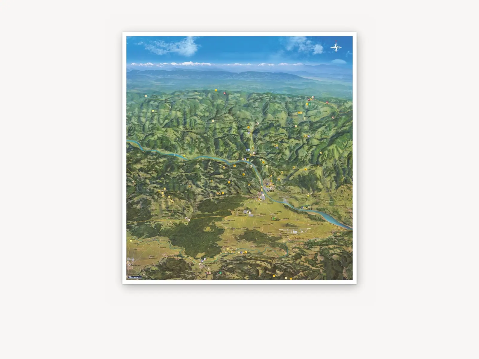
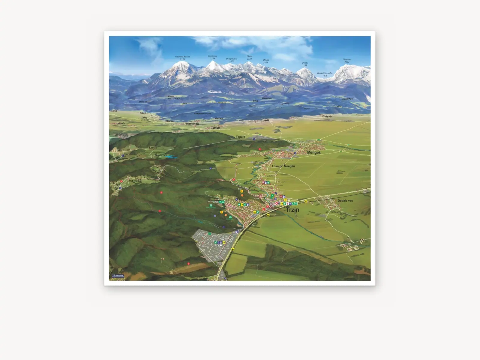
Where you can use it
On site, in print and online.
Info stands & boardsAt trailheads, car parks and the tourist office.
Promotional printA summer leaflet or tear-off map with all the trails.
Wall mapsThe destination map on the wall of a tourist office, hotel or hut.
Interactive mapsTrails and points of interest on the visitor’s phone.
Looking for a winter-season map? Winter panoramic maps
Over 100 municipalities and destinations across Slovenia
See our references
Send an enquiry for a summer map
