


Winter panoramic maps
Ski slopes, cross-country trails and winter walks on one clear map.
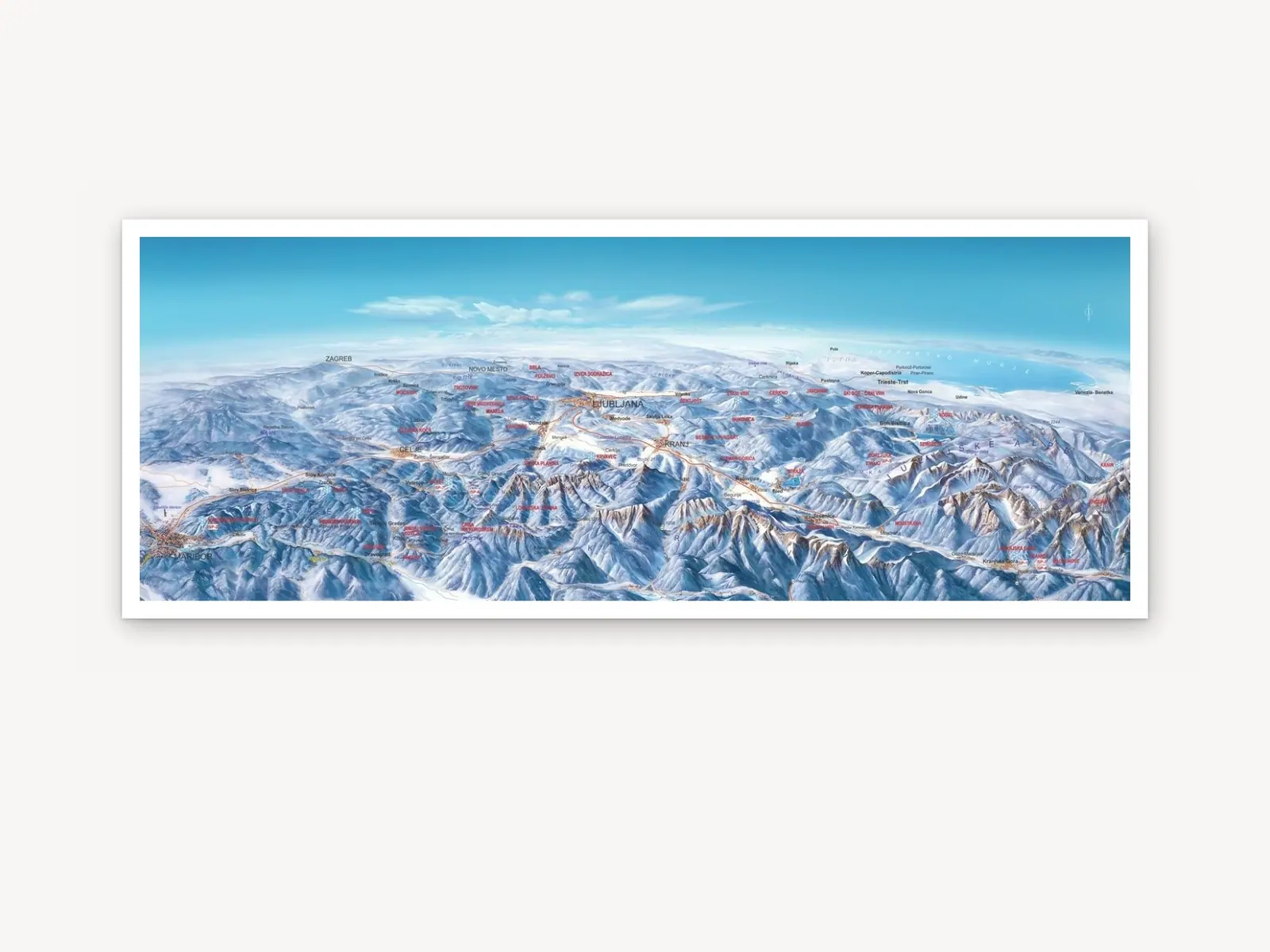
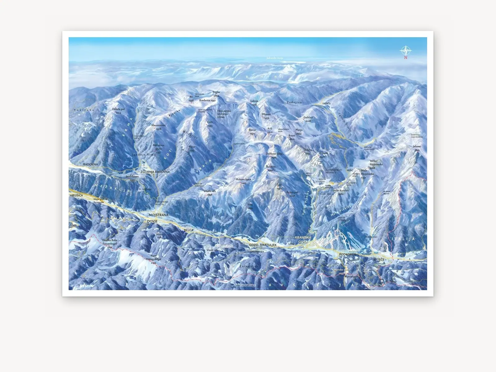
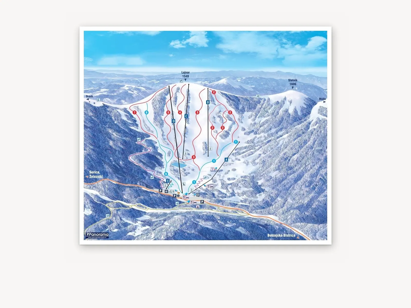
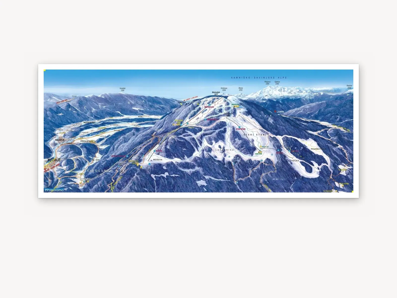
A winter panoramic map shows the destination under snow: ski runs by difficulty, lifts, cross-country trails, sledging runs and winter walking routes. Visitors see at a glance where they can go and how to get there.
It is often the winter version of a summer map: the same hand-drawn terrain with new content. Use it on boards at lifts and entry points, in leaflets and in the interactive map on visitors’ phones.
Ski areas
- Ski runs by difficulty
- Chairlifts and drag lifts
- Cross-country trails
- Sledging runs and kids’ snow parks
Winter offering
- Winter walking and snowshoe trails
- Huts, dining and accommodation
- Rentals, ski schools and car parks
- Legend with pictograms
Who it is for
- Skiers and snowboarders
- Cross-country skiers
- Ski tourers and snowshoers
- Families and foreign guests
Featured projects
A selection of winter panoramic maps of ski areas and destinations.
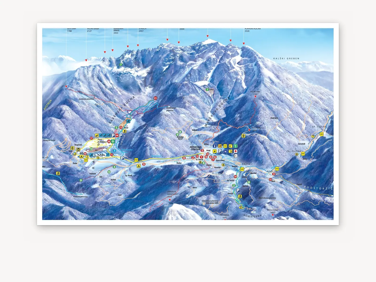
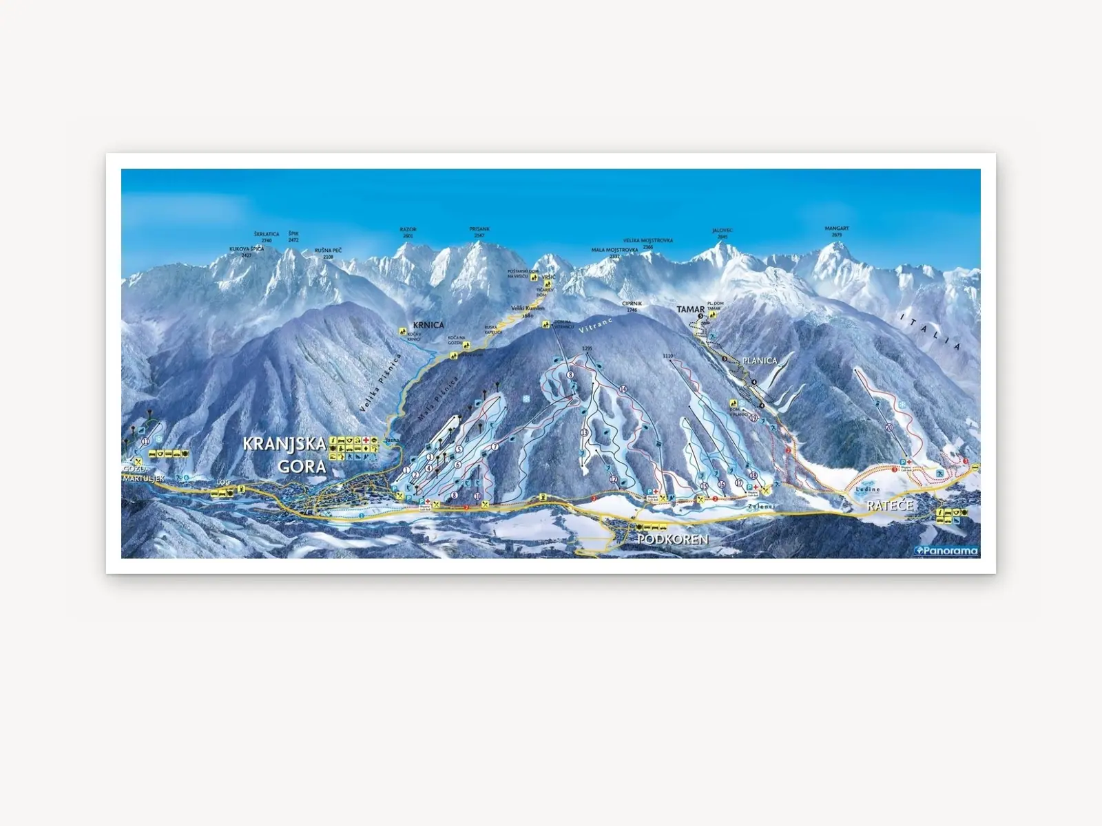
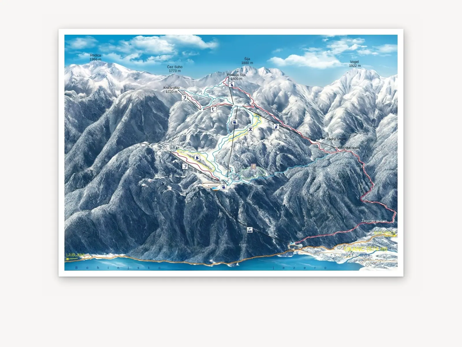
Where you can use it
On site, in print and online.
Info stands & boardsAt lifts, ticket offices and car parks.
Promotional printA winter leaflet with slopes and lifts.
Wall mapsThe ski area map on the wall of a hut or hotel.
Interactive mapsSlopes and lifts on the visitor’s phone.
Looking for a summer-season map? Summer panoramic maps
Over 100 municipalities and destinations across Slovenia
See our references
Send an enquiry for a winter map
