


A new Kranjska Gora tear-off map
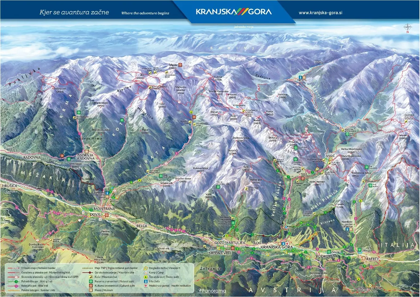
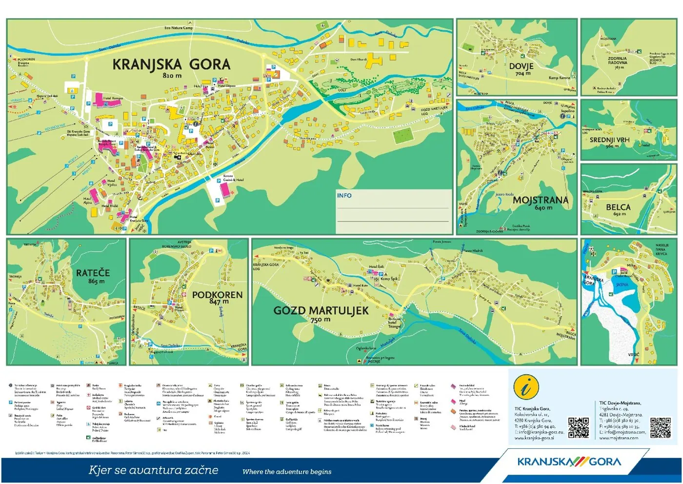
The Kranjska Gora tear-off map is our most widely read printed map, reprinted in several editions every year. The front shows the panoramic map of the valley with the Julian Alps; the back has town plans of Kranjska Gora, Rateče, Podkoren, Gozd Martuljek, Mojstrana and Dovje.

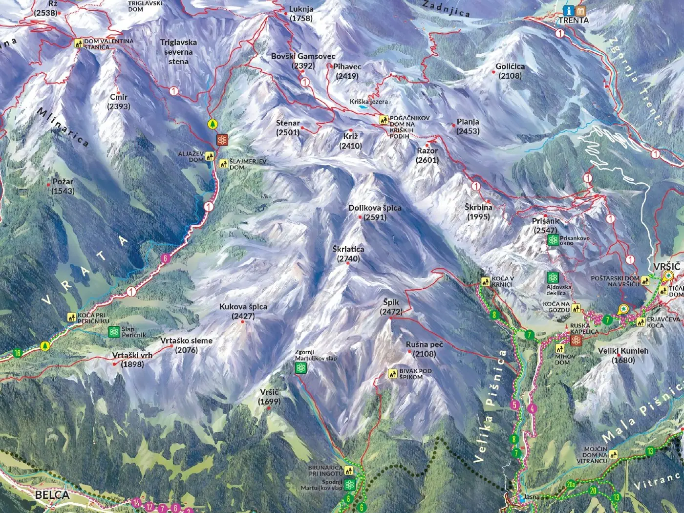
The map shows the Upper Sava Valley from Rateče to Mojstrana, with the peaks of the Julian Alps and the Karavanke. It includes hiking and cycling routes and tourist services.
The back carries detailed plans of the villages in the valley, with streets and key points, and the tourist office contacts.
We have been preparing the panoramic map for the Kranjska Gora A3 tear-off map since 2021. Since then it has come out in more than seven editions, in some years as many as three times.
Gallery
Then and now
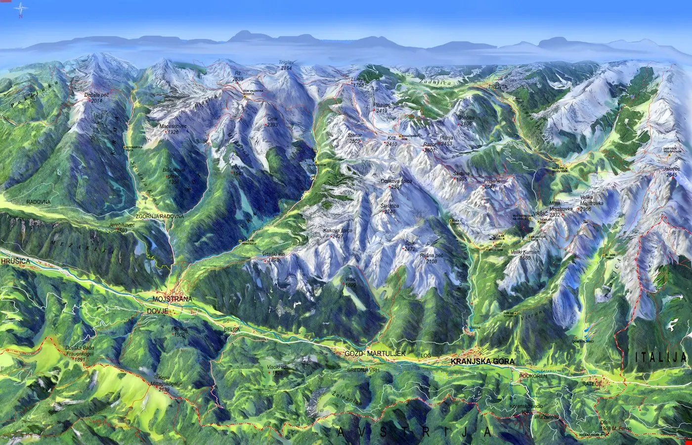
We have been drawing Kranjska Gora for more than twenty years. The new map is drawn from scratch, with more detail, trails and a clear legend.
Interested in a similar project?
Send us a short description and we will prepare a proposal and a quote.
