


March 2026 · in progress
Tuhinj Valley
Panoramic mapIn progress
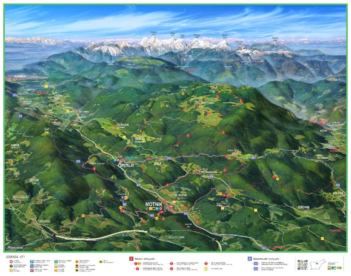
A map of the Tuhinj Valley
For the Kamnik Tourism Office we are drawing a new panoramic map of the Tuhinj Valley. The first board with the map is already in place in Motnik; the board for Špitalič will follow.

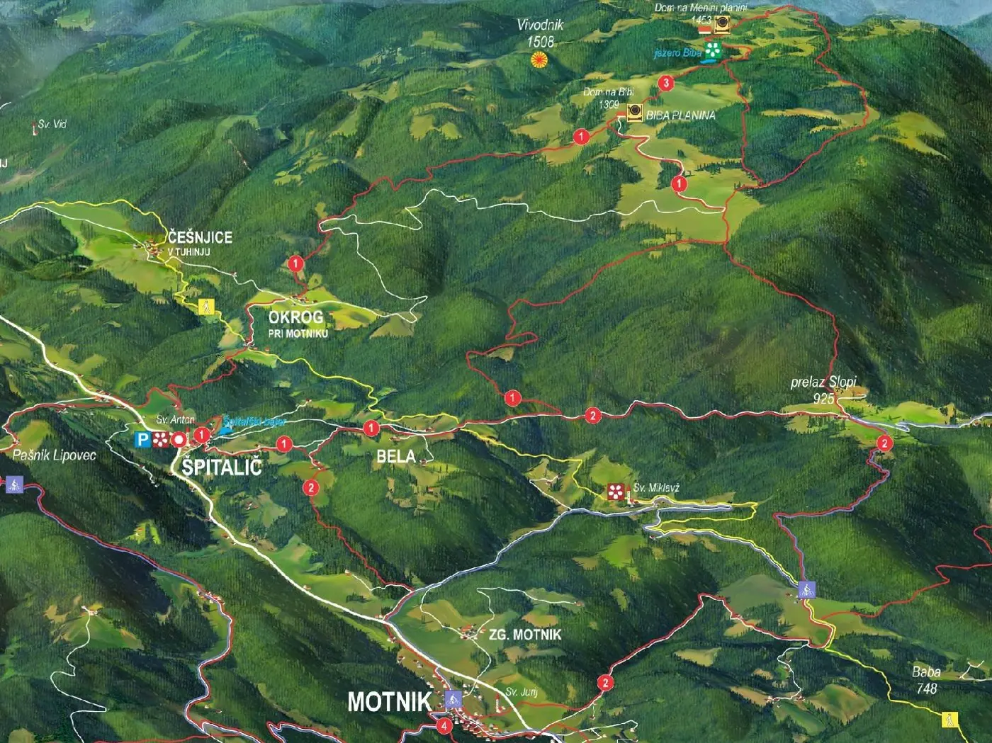
The map shows the Tuhinj Valley from Kamnik to Motnik and Trojane, with the Kamnik–Savinja Alps in the background. It is drawn from a digital elevation model and finished by hand.
It shows villages, roads and peaks, with numbered walking and cycling routes and a bilingual legend. For each board we prepare its own version of the map with a location marker and the nearby routes highlighted.
Gallery
Interested in a similar project?
Send us a short description and we will prepare a proposal and a quote.
