


A new map and board in Nazarje
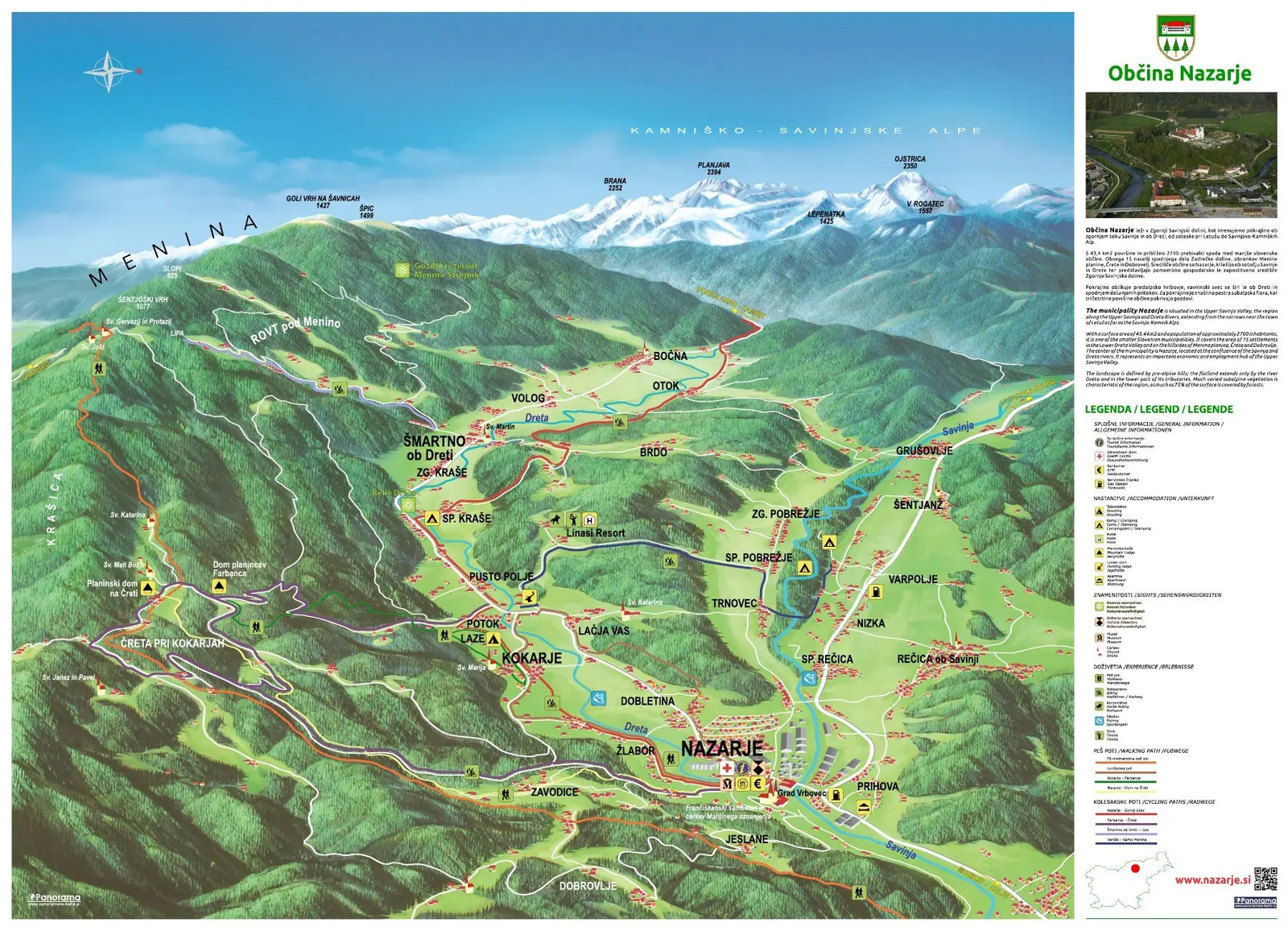
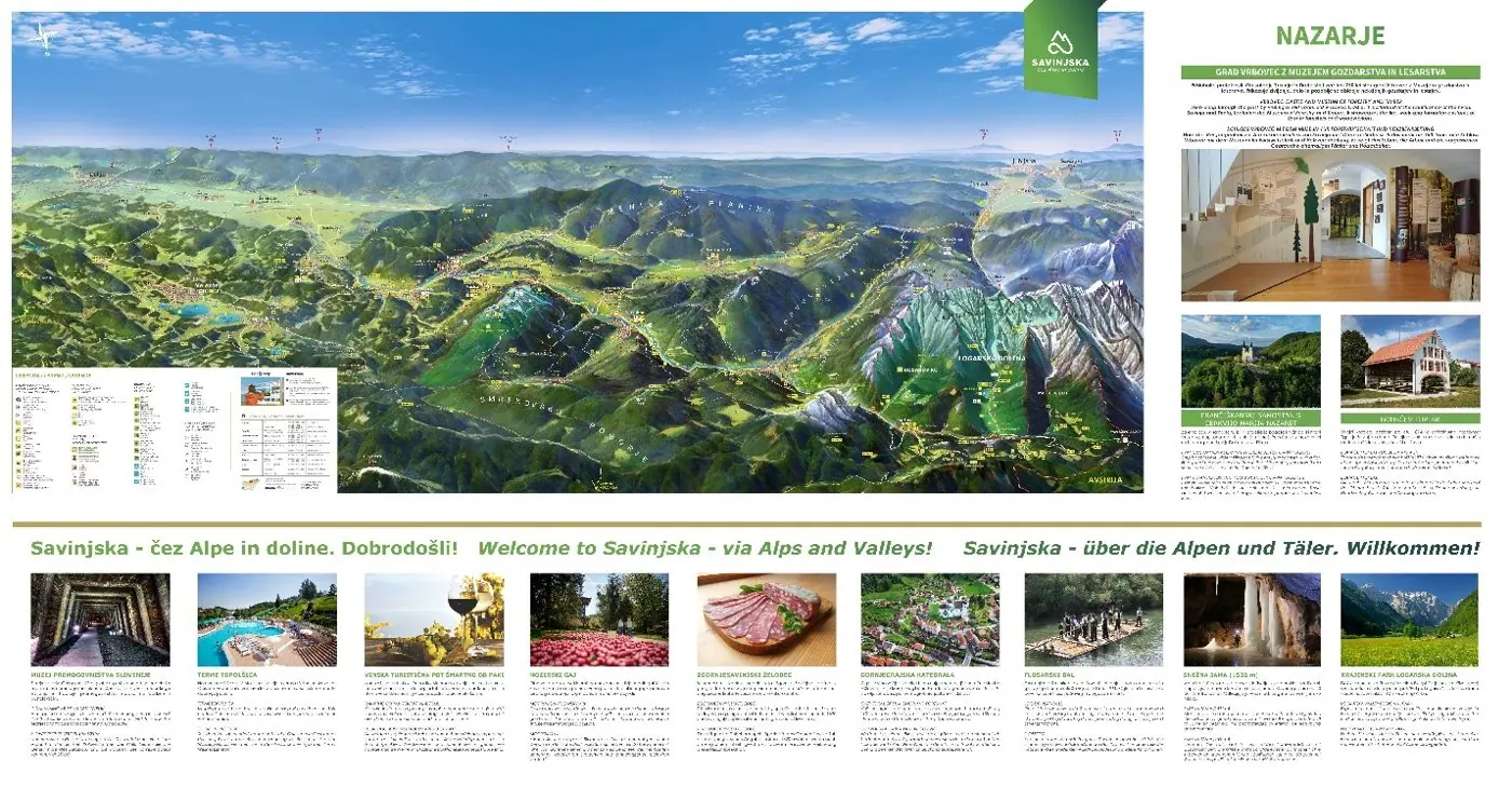
Nazarje lies at the confluence of the Dreta and the Savinja. The new panoramic map of the municipality, printed on a 180 × 130 cm info board, shows this setting with Menina and the Kamnik–Savinja Alps in the background. The same project also included a 269 × 140 cm board with the map of the Upper Savinja Valley.

The map shows the municipality at the confluence of the Dreta and the Savinja, from Šmartno ob Dreti and Menina to Nazarje and Rečica ob Savinji, with the Kamnik–Savinja Alps in the background.
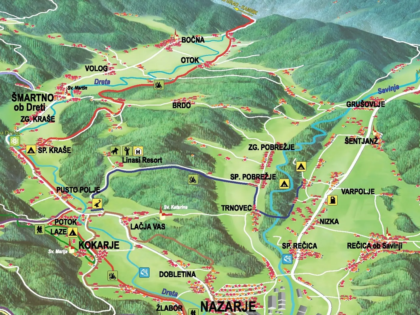
It is drawn from a digital elevation model and finished by hand. It shows roads, villages and peaks, trails and services, with a legend and an introduction to the municipality next to the map.
The Upper Savinja Valley board presents the whole valley and what the region offers, in Slovenian, English and German. Both boards are printed directly on aluminium.
Gallery
Then and now
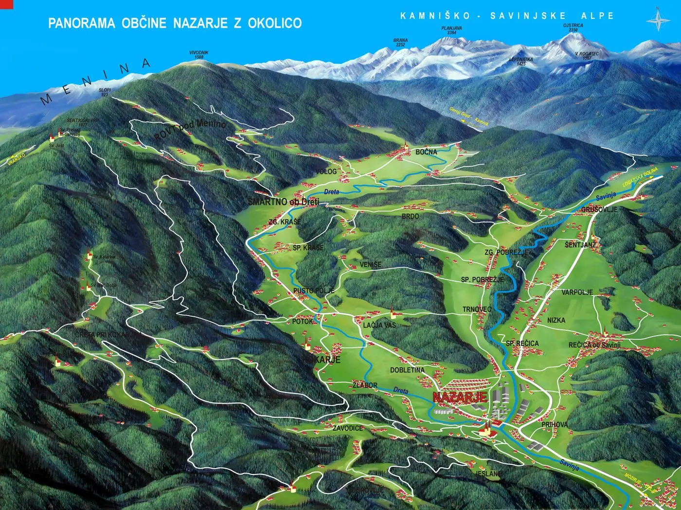
We first drew the panorama of the Municipality of Nazarje in 2008. The new map shows the same landscape with more natural colours, more detail and marked trails, with a legend and an introduction to the municipality next to the map.
Interested in a similar project?
Send us a short description and we will prepare a proposal and a quote.
